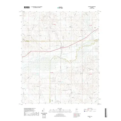
2021 Map of Stewart
USGS Topo · Published 2021About this map
Stewart serves as a central hub in this Mississippi landscape where the borders of Webster, Montgomery, and Choctaw counties converge. The terrain is defined by the managed hydrology of the Big Black River Canal and the original meandering course of the Big Black River, which create a complex network of wetlands and sloughs such as Jacks Slough. This modern survey reveals a countryside deeply rooted in its local history, evidenced by an exceptional density of family and community burial grounds scattered across the hills and creek bottoms.
Find a feature on this map
77 named features on this map. Tap any name to fly to it.
Don’t see what you’re looking for? This feature index may not catch every label — zoom into the map to look around manually.
Map Details
Editions of this 2021 Stewart Map
This is the sole edition of this map. No revisions or reprints were ever made.
Other maps of this area

1953 · Walthall
USGS Topo · 1:62,500

1953 · West Point
USGS Topo · 1:250,000

1954 · Duck Hill
USGS Topo · 1:62,500

1958 · West Point
USGS Topo · 1:250,000

1963 · West Point
USGS Topo · 1:250,000

1966 · Kilmichael
USGS Topo · 1:24,000

1966 · Poplar Creek
USGS Topo · 1:24,000

1966 · Stewart
USGS Topo · 1:24,000

1966 · Weir
USGS Topo · 1:24,000

1966 · Tomnolen
USGS Topo · 1:24,000