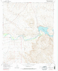
1964 Map of Stewart Mtn.
USGS Topo · Published 1990About this map
Stewart Mtn Dam and the impounded waters of Saguaro Lake dominate this mid-century look at the lower Salt River corridor. The landscape is defined by the sharp transition from the water's edge to the Goldfield Mountains and the complex drainage of Bulldog Canyon. This area of the Tonto National Forest serves as a critical infrastructure and recreation hub, shown here before modern expansions altered the shoreline access. Local landmarks like Sheep Bridge and the Blue Point Ranger Sta provide specific points of interest for those studying the development of the region's park and water management systems. The map also captures several isolated peaks such as Lone Mtn and Dome Mtn, which stood as navigational waypoints for early travelers navigating the Bush Highway through the desert.
Find a feature on this map
28 named features on this map. Tap any name to fly to it.
Don’t see what you’re looking for? This feature index may not catch every label — zoom into the map to look around manually.
Map Details
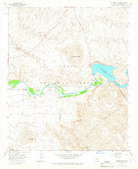
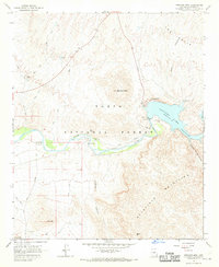
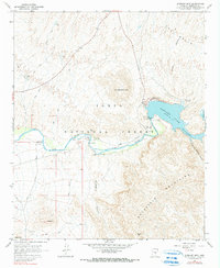
Editions of this 1964 Stewart Mtn. Map
4 editions found
Other maps of this area

1900 · Florence
USGS Topo · 1:125,000

1902 · Florence
USGS Topo · 1:125,000

1904 · Desert Well
USGS Topo · 1:62,500

1904 · Ft. McDowell
USGS Topo · 1:62,500

1906 · Ft. McDowell
USGS Topo · 1:62,500

1906 · Desert Well
USGS Topo · 1:62,500

1907 · Roosevelt
USGS Topo · 1:125,000

1909 · Four Peaks
USGS Topo · 1:125,000

1912 · Roosevelt
USGS Topo · 1:125,000

1930 · Cave Creek
USGS Topo · 1:125,000