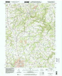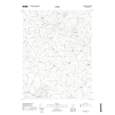
1953 Map of Stewartstown
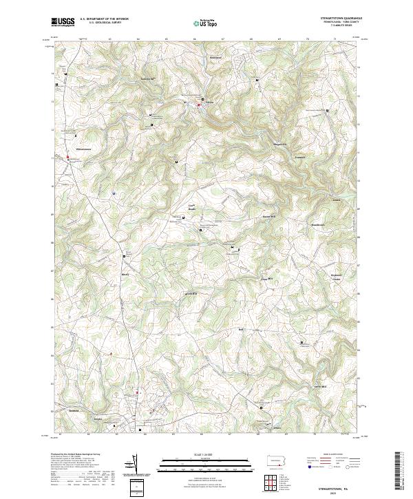
USGS Topo · Published 1969About this map
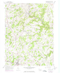
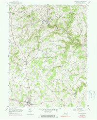
Stewartstown sits at the heart of this southern York County landscape, where the Maryland and Pennsylvania railroad line weaves through a series of agricultural townships including Hopewell and Chanceford. The region's early industrial character is defined by its water-powered infrastructure, with numerous historic mills scattered along the drainages, such as Sechrist Mill on the North Branch and Cross Mill near the center of the sheet. These sites, along with Bacon Mill and Grove Mill, indicate a localized milling economy that supported the surrounding farmsteads.
Find a feature on this map
49 named features on this map. Tap any name to fly to it.
Don’t see what you’re looking for? This feature index may not catch every label — zoom into the map to look around manually.
Map Details
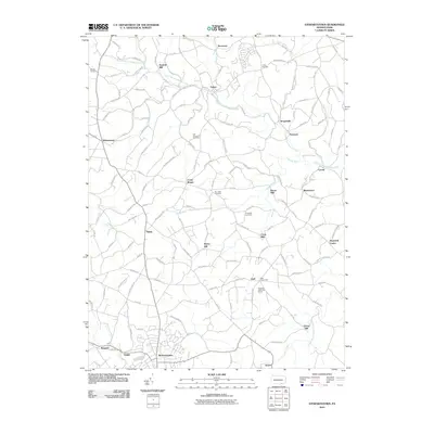
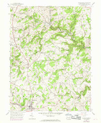
Editions of this 1953 Stewartstown Map
4 editions found
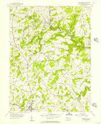
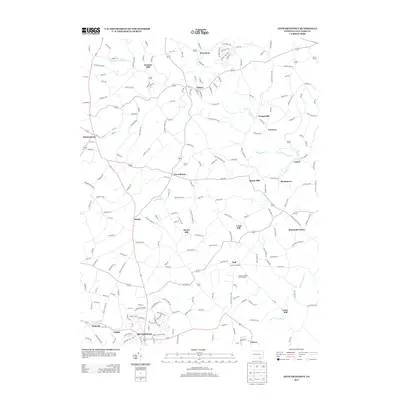
Historical Maps of Stewartstown Through Time
7 maps found