Loading...
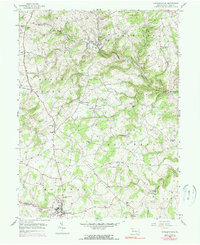
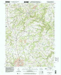
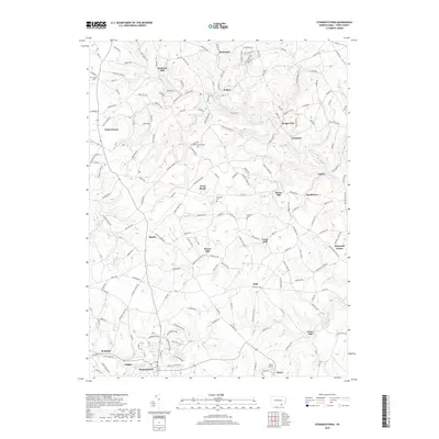
Loading map...1953 Map of Stewartstown
USGS Topo · Published 1990About this map
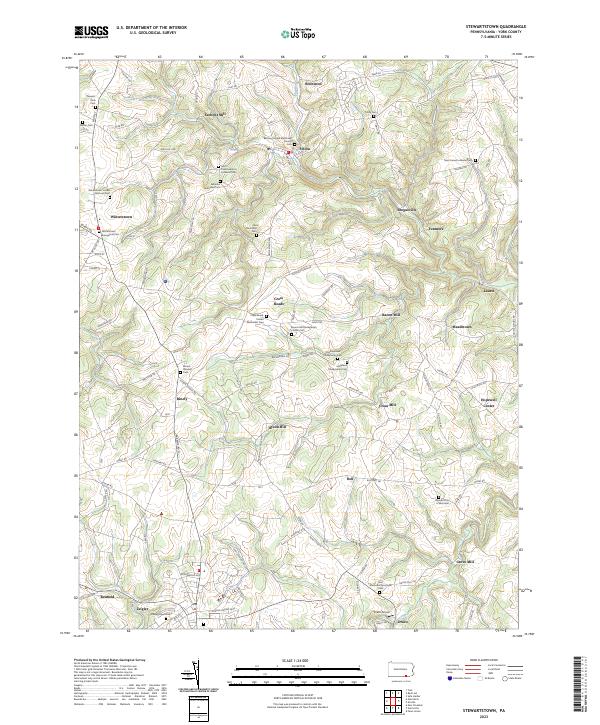
The Stewartstown railroad and settlement anchor the southern landscape of this York County region, illustrating a mid-century agricultural economy tied to the rails and local milling. Numerous family-named landmarks such as Sechrist Mill, Bacon Mill, and Hyson Mill are scattered along the drainages of North Branch Muddy Creek and Rambo Run, signifying the long-standing importance of water power in the local industry.
Find a feature on this map
51 named features on this map. Tap any name to fly to it.
Don’t see what you’re looking for? This feature index may not catch every label — zoom into the map to look around manually.
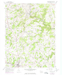
Map Details
Date Portrayed1953
Date Published1990
PublisherU.S. Geological Survey
Map TypeTopographic
Scale1:24,000
Physical Dimensions22 x 27 inches
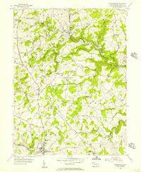
Editions of this 1953 Stewartstown Map
4 editions found
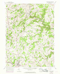
Historical Maps of Stewartstown Through Time
7 maps found
Featured Locations
Source Details
SourceU.S. Geological Survey
CopyrightPublic Domain