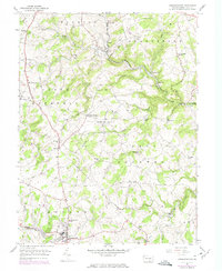
1953 Map of Stewartstown
USGS Topo · Published 1974About this map
Agricultural traditions and milling history define this portion of York County, where the Pennsylvania Railroad once wound through the valleys of Muddy Creek and its many tributaries. The landscape is characterized by a high density of local industry along the water, featuring several named mills such as Sechrist Mill, Cross Mill, and Bacon Mill that anchored these rural communities. The map highlights the layout of the borough of Stewartstown at the southern edge, showing its early residential and commercial core before modern expansion.
Find a feature on this map
55 named features on this map. Tap any name to fly to it.
Don’t see what you’re looking for? This feature index may not catch every label — zoom into the map to look around manually.
Map Details
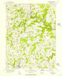
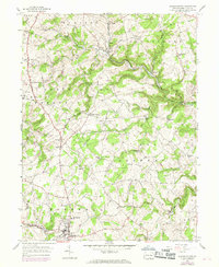
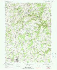
Editions of this 1953 Stewartstown Map
4 editions found
Other maps of this area

1900 · Parkton
USGS Topo · 1:62,500

1901 · Belair
USGS Topo · 1:62,500

1902 · Parkton
USGS Topo · 1:62,500

1908 · York
USGS Topo · 1:62,500

1910 · York
USGS Topo · 1:62,500

1912 · Mc Calls Ferry
USGS Topo · 1:62,500

1942 · Bel Air
USGS Topo · 1:62,500

1943 · Mc Calls Ferry
USGS Topo · 1:62,500

1944 · New Freedom
USGS Topo · 1:31,680

1944 · Norrisville
USGS Topo · 1:31,680