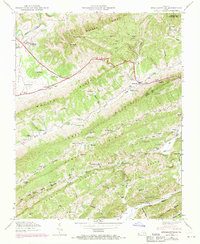
1946 Map of Stickleyville
USGS Topo · Published 1970About this map
Stickleyville sits at the base of Wallen Ridge in Lee County, where the historic Daniel Boone Trail winds through the gap. This 1946 survey, updated with 1969 aerial revisions, reveals a dense rural settlement pattern defined by the parallel folds of Powell Mountain and Stone Ridge. The landscape is dotted with small-scale communal landmarks, including the Larmer School, Burks Union Ch, and numerous family burial grounds like Rasnic Cem and Vaughn Cem.
Find a feature on this map
109 named features on this map. Tap any name to fly to it.
Don’t see what you’re looking for? This feature index may not catch every label — zoom into the map to look around manually.
Map Details
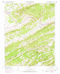
Editions of this 1946 Stickleyville Map
2 editions found
Other maps of this area

1887 · Jonesville
USGS Topo · 1:125,000

1891 · Jonesville
USGS Topo · 1:125,000

1894 · Estillville
USGS Topo · 1:125,000

1916 · Nolansburg
USGS Topo · 1:48,000

1919 · Nolansburg
USGS Topo · 1:62,500

1921 · Big Stone Gap
USGS Topo · 1:48,000

1922 · Big Stone Gap
USGS Topo · 1:62,500

1929 · Big Stone Gap
USGS Topo · 1:62,500

1935 · Kyles Ford
USGS Topo · 1:24,000

1935 · Looneys Gap
USGS Topo · 1:24,000