
1963 Map of Stidham
USGS Topo · Published 1964About this map
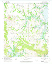
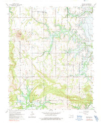
Stidham and Fame anchor this rural McIntosh County landscape during a period of significant hydrological change. The eastern and southern boundaries are dominated by the rising waters of the Eufaula Reservoir, which began flooding the deep valleys of Sharpe Creek, Possum Creek, and Mill Creek around the time of this survey. This transformation from traditional creek-bottom lands to a major reservoir system altered the local geography, yet many original community landmarks remain visible. Scattered throughout the interior are essential cultural sites for genealogists, including Artussee Indian Ch, Muskogee Ch, and numerous family burial grounds like Ramsey Cem, Hutton Cem, and Charles Cem. High points such as Badger Hill overlook a network of section-line roads connecting smaller crossroads like Carters Corner and Vivian.
Find a feature on this map
23 named features on this map. Tap any name to fly to it.
Don’t see what you’re looking for? This feature index may not catch every label — zoom into the map to look around manually.
Map Details
Editions of this 1963 Stidham Map
3 editions found
Other maps of this area

1900 · Canadian
USGS Topo · 1:125,000

1946 · Fort Smith
USGS Topo · 1:250,000

1962 · Raiford
USGS Topo · 1:24,000

1962 · Pierce
USGS Topo · 1:24,000

1962 · Hoffman
USGS Topo · 1:24,000

1963 · Eufaula
USGS Topo · 1:24,000

1963 · Checotah
USGS Topo · 1:24,000

1965 · Fort Smith
USGS Topo · 1:250,000

1967 · Fort Smith
USGS Topo · 1:250,000
1971 · Canadian
USGS Topo · 1:24,000