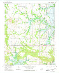
1963 Map of Stidham
USGS Topo · Published 1975About this map
Stidham and Fame anchor this McIntosh County landscape during a period of significant hydrological transition. The survey work, field checked in 1963, highlights the impending expansion of Eufaula Lake, with blue hatching clearly marking the areas of Simpson and Burton destined for submergence as the reservoir reached its normal pool elevation. This map is a critical resource for genealogists, as it preserves the locations of numerous family and community burial grounds, including Remsey Cem, Hutton Cem, and Fame Cem, before the shoreline changed the local geography forever. The rural fabric is further defined by several local congregations, such as Vivian Ch and the Artussee Indian Ch, which served the scattered residents of Vivian and Carters Corner. From the heights of Badger Hill down to the winding course of Coon Creek, the map details a world of section-line roads and creek-bottom timber on the eve of the reservoir's completion.
Find a feature on this map
25 named features on this map. Tap any name to fly to it.
Don’t see what you’re looking for? This feature index may not catch every label — zoom into the map to look around manually.
Map Details
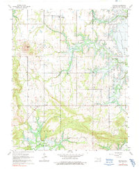
Editions of this 1963 Stidham Map
3 editions found
Other maps of this area

1900 · Canadian
USGS Topo · 1:125,000

1946 · Fort Smith
USGS Topo · 1:250,000

1962 · Raiford
USGS Topo · 1:24,000

1962 · Pierce
USGS Topo · 1:24,000

1962 · Hoffman
USGS Topo · 1:24,000

1963 · Stidham
USGS Topo · 1:24,000

1963 · Eufaula
USGS Topo · 1:24,000

1963 · Checotah
USGS Topo · 1:24,000

1965 · Fort Smith
USGS Topo · 1:250,000

1967 · Fort Smith
USGS Topo · 1:250,000