
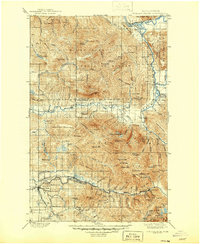
1901 Map of Stilaguamish
USGS Topo · Published 1901About this map
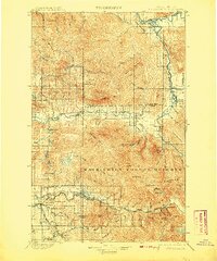
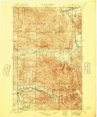
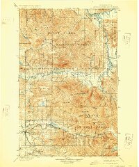
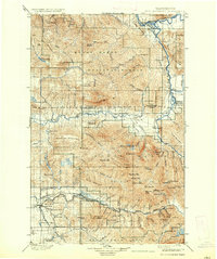
Silverton and Gold Basin appear as vital mountain outposts in this 1901 survey, illustrating the early industrial and settlement patterns of the Cascade foothills before the extensive modern infrastructure took hold. The landscape is defined by the heavy drainage systems of the Stilaguamish River and its forks, where the terrain rises sharply into the Washington Forest Reserve. Named peaks like White Horse Mt and Three Fingers dominate the horizon, serving as permanent landmarks for early homesteaders and miners. In the valleys, pockets of habitation like Oso and Darrington provide evidence of early pioneers following the river corridors. The presence of Mansford Prairie and several sloughs and creeks, such as Mc Lean Slough, suggests a complex riverine environment that dictated the placement of early roads and homesteads within the Skagit and Snohomish county borderlands.
Find a feature on this map
85 named features on this map. Tap any name to fly to it.
Don’t see what you’re looking for? This feature index may not catch every label — zoom into the map to look around manually.
Map Details
Editions of this 1901 Stilaguamish Map
6 editions found
Other maps of this area

1895 · Snohomish
USGS Topo · 1:125,000

1897 · Seattle
USGS Topo · 1:125,000

1899 · Glacier Peak
USGS Topo · 1:125,000

1899 · Stillaguamish
USGS Topo · 1:125,000

1901 · Glacier Peak
USGS Topo · 1:125,000

1902 · Skykomish
USGS Topo · 1:125,000

1905 · Skykomish
USGS Topo · 1:125,000

1909 · Mt Baker
USGS Topo · 1:192,000

1911 · Mount Vernon
USGS Topo · 1:125,000

1915 · Mt. Baker
USGS Topo · 1:250,000