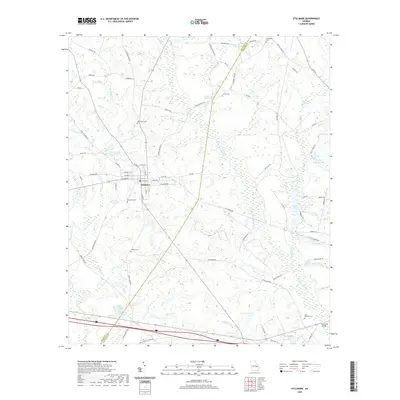
2020 Map of Stillmore
USGS Topo · Published 2020About this map
Stillmore serves as the central hub of this South Georgia landscape, where a grid of streets intersects the historic railroad corridor. The town's historical geography is anchored by the Stillmore Cem, while the surrounding countryside in Emanuel and Candler counties is defined by a dense network of blackwater streams and wetlands. The Canoochee River and Mill Cr wind through the eastern reaches, supporting landmarks like Cowarts Mill Pond and Lewis Lake.
Find a feature on this map
75 named features on this map. Tap any name to fly to it.
Don’t see what you’re looking for? This feature index may not catch every label — zoom into the map to look around manually.
Map Details
Editions of this 2020 Stillmore Map
This is the sole edition of this map. No revisions or reprints were ever made.
Other maps of this area

1957 · Macon
USGS Topo · 1:250,000

1958 · Macon
USGS Topo · 1:250,000

1964 · Macon
USGS Topo · 1:250,000

1970 · Cobbtown
USGS Topo · 1:24,000
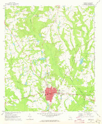
1970 · Metter
USGS Topo · 1:24,000
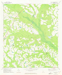
1970 · Metter SE
USGS Topo · 1:24,000

1970 · Nunez
USGS Topo · 1:24,000

1970 · Oak Park
USGS Topo · 1:24,000

1971 · Stillmore
USGS Topo · 1:24,000

1971 · Swainsboro
USGS Topo · 1:24,000