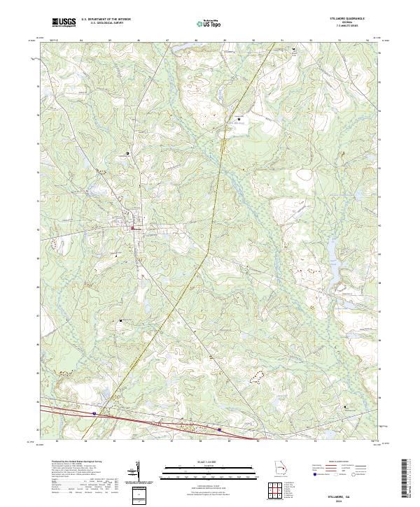
2024 Map of Stillmore
USGS Topo · Published 2024About this map
Stillmore sits at the center of this landscape, its grid defined by streets like Atlanta St and Columbus St, with its railway heritage preserved in the name of Stillmore Airline RR St. The town is surrounded by a network of family-named landmarks and water bodies that reflect the agricultural and timber roots of this Georgia region. The Canoochee River and Thick Creek wind through the north, while the southern reaches are marked by Lewis Lake and Wolfe Creek.
Find a feature on this map
75 named features on this map. Tap any name to fly to it.
Don’t see what you’re looking for? This feature index may not catch every label — zoom into the map to look around manually.
Map Details
Editions of this 2024 Stillmore Map
This is the sole edition of this map. No revisions or reprints were ever made.
Other maps of this area

1957 · Macon
USGS Topo · 1:250,000

1958 · Macon
USGS Topo · 1:250,000

1964 · Macon
USGS Topo · 1:250,000

1970 · Cobbtown
USGS Topo · 1:24,000
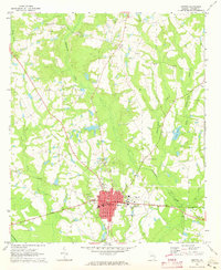
1970 · Metter
USGS Topo · 1:24,000
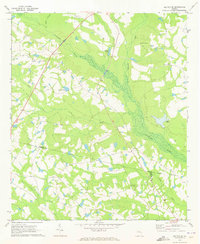
1970 · Metter SE
USGS Topo · 1:24,000

1970 · Nunez
USGS Topo · 1:24,000

1970 · Oak Park
USGS Topo · 1:24,000

1971 · Stillmore
USGS Topo · 1:24,000

1971 · Swainsboro
USGS Topo · 1:24,000