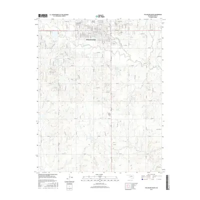
2016 Map of Stillwater South
USGS Topo · Published 2016About this map
The Oklahoma State Univ Main Campus anchors the northern landscape of this Payne County survey, where the southern reaches of Stillwater give way to a network of creeks and rural landmarks. The drainage of Stillwater Cr and its tributaries, including Brush Cr and Lost Cr, carves the local topography, while the Stillwater Creek Site 52 Reservoir and Cedar Isle Lake provide significant water features. Genealogists will find several notable burial sites documented, including Fairlawn Cem near the university, Sunset Memorial Gardens further south, and the more remote Elm Grove Cem. The transition from city streets to numbered section roads reveals the shift from urban development to the broader agricultural lands of central Oklahoma, notably around the terrain of Pickles Gap.
Find a feature on this map
124 named features on this map. Tap any name to fly to it.
Don’t see what you’re looking for? This feature index may not catch every label — zoom into the map to look around manually.
Map Details
Editions of this 2016 Stillwater South Map
This is the sole edition of this map. No revisions or reprints were ever made.
Other maps of this area

1893 · Stillwater
USGS Topo · 1:62,500

1908 · Agra
USGS Topo · 1:62,500

1909 · Perkins
USGS Topo · 1:62,500

1929 · Ripley
USGS Topo · 1:62,500

1932 · Ripley
USGS Topo · 1:62,500

1954 · Oklahoma City
USGS Topo · 1:250,000

1955 · Enid
USGS Topo · 1:250,000

1957 · Oklahoma City
USGS Topo · 1:250,000

1958 · Enid
USGS Topo · 1:250,000

1963 · Oklahoma City
USGS Topo · 1:250,000