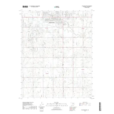
2018 Map of Stillwater South
USGS Topo · Published 2018About this map
Stillwater transitions from an urban residential grid into a complex network of section-line roads and creek drainages in this 2018 survey of Payne County. The northern portion is defined by the city's expansion, where Fairlawn Cem and the surrounding neighborhoods give way to the winding course of Stillwater Cr. As the landscape moves south, the terrain becomes more distinct at Pickles Gap and The Cedars, showing the natural breaks in the upland prairie.
Find a feature on this map
130 named features on this map. Tap any name to fly to it.
Don’t see what you’re looking for? This feature index may not catch every label — zoom into the map to look around manually.
Map Details
Editions of this 2018 Stillwater South Map
This is the sole edition of this map. No revisions or reprints were ever made.
Other maps of this area

1893 · Stillwater
USGS Topo · 1:62,500

1908 · Agra
USGS Topo · 1:62,500

1909 · Perkins
USGS Topo · 1:62,500

1929 · Ripley
USGS Topo · 1:62,500

1932 · Ripley
USGS Topo · 1:62,500

1954 · Oklahoma City
USGS Topo · 1:250,000

1955 · Enid
USGS Topo · 1:250,000

1957 · Oklahoma City
USGS Topo · 1:250,000

1958 · Enid
USGS Topo · 1:250,000

1963 · Oklahoma City
USGS Topo · 1:250,000