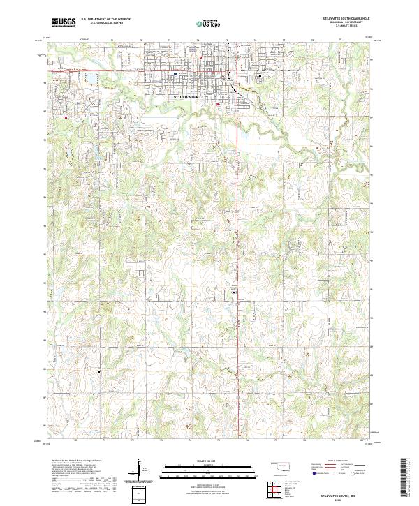
2022 Map of Stillwater South
USGS Topo · Published 2022About this map
Stillwater dominates the northern half of this Payne County landscape, where the sprawling campus of Oklahoma State University Stillwater and the Payne County Courthouse anchor the city's civic and academic center. The urban grid quickly gives way to a sprawling network of county roads, such as E0640 Rd and E0700 Rd, which navigate the watershed of Stillwater Creek and its southern tributaries. The terrain transitions into more rural pasture and creek valleys to the south, marked by the distinctive Pickles Gap and the meandering path of Lost Creek. Local history is preserved at sites like Fairlawn Cem near the city center and the more remote Elm Grove Cem to the southwest, while Cedar Isle Lake provides a notable landmark within the residential developments extending from the city core.
Find a feature on this map
48 named features on this map. Tap any name to fly to it.
Don’t see what you’re looking for? This feature index may not catch every label — zoom into the map to look around manually.
Map Details
Editions of this 2022 Stillwater South Map
This is the sole edition of this map. No revisions or reprints were ever made.
Historical Maps of Millers Through Time
12 maps found
1967 Stillwater North
Payne County, OK
1967 Stillwater South
Payne County, OK
1967 Stillwater SW
Payne County, OK
1974 Clear Creek
Payne County, OK
1975 Twin Mounds
Payne County, OK
1975 West Point
Payne County, OK
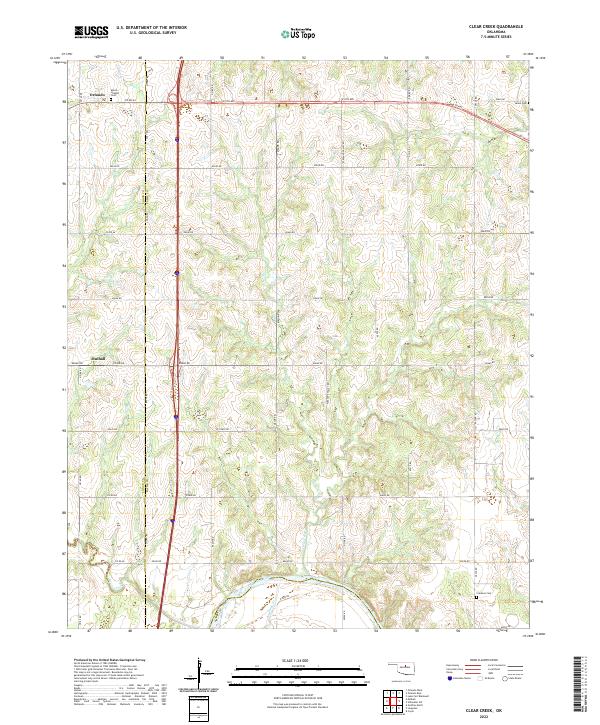
2022 Clear Creek
Payne County, OK
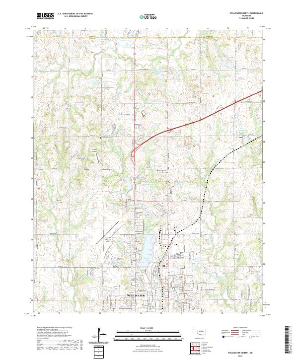
2022 Stillwater North
Payne County, OK
2022 Stillwater South
Payne County, OK
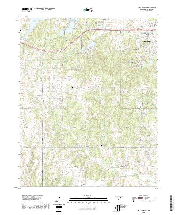
2022 Stillwater SW
Payne County, OK
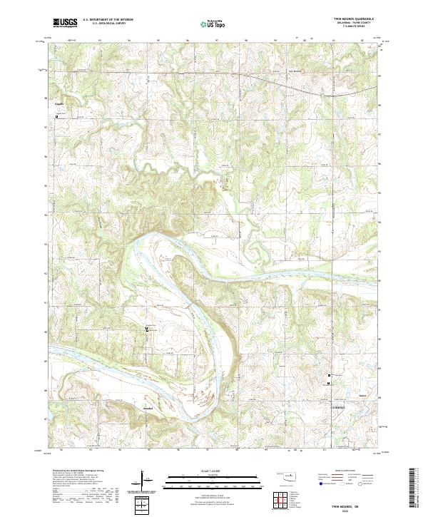
2022 Twin Mounds
Payne County, OK
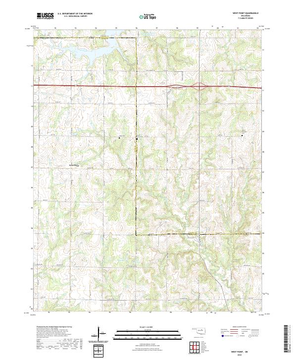
2022 West Point
Payne County, OK