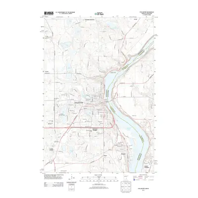
2013 Map of Stillwater
USGS Topo · Published 2013About this map
The Saint Croix River forms a natural border between Minnesota and Wisconsin in this 2013 survey, defining the eastern edge of Stillwater. This riverfront landscape includes the wider waters of Lake Saint Croix and the prominent Lookout Point to the north. The area shows a dense concentration of historical burial sites, such as Fairview Cem and Salem Cem within the city, and the rural Boutwell Cem to the west.
Find a feature on this map
131 named features on this map. Tap any name to fly to it.
Don’t see what you’re looking for? This feature index may not catch every label — zoom into the map to look around manually.
Map Details
Editions of this 2013 Stillwater Map
This is the sole edition of this map. No revisions or reprints were ever made.
Other maps of this area

1946 · Hudson
USGS Topo · 1:62,500

1946 · River Falls
USGS Topo · 1:62,500

1948 · New Richmond
USGS Topo · 1:62,500

1948 · Stillwater
USGS Topo · 1:62,500

1949 · New Richmond
USGS Topo · 1:62,500

1949 · River Falls
USGS Topo · 1:62,500

1949 · Hudson
USGS Topo · 1:62,500

1949 · Stillwater
USGS Topo · 1:62,500

1949 · Lake Elmo
USGS Topo · 1:24,000

1949 · Hudson
USGS Topo · 1:24,000