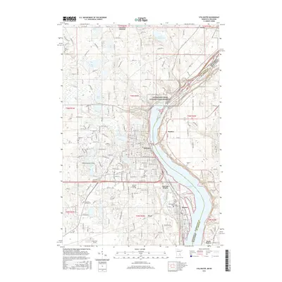
2016 Map of Stillwater
USGS Topo · Published 2016About this map
The Saint Croix River forms a majestic boundary between Minnesota and Wisconsin, anchoring a landscape where the historic river towns of Stillwater and Bayport have long thrived. The area is defined by a dense concentration of local heritage sites, including numerous historic burying grounds like Fairview Cem and Saint Michael Cem. The transition from the developed riverfront to the glacial lake country of the west is marked by a network of water bodies such as Big Carnelian Lake, Silver Lake, and Lake McKusick. The protected corridor of the Lower Saint Croix National Scenic Riverway preserves the shoreline, while further inland, the regional infrastructure is supported by the Lake Elmo Airport. This survey provides a clear view of the mid-2010s geography of Washington County and St. Croix County, from the heights of Oak Park Heights to the residential streets of Houlton and North Hudson.
Find a feature on this map
213 named features on this map. Tap any name to fly to it.
Don’t see what you’re looking for? This feature index may not catch every label — zoom into the map to look around manually.
Map Details
Editions of this 2016 Stillwater Map
This is the sole edition of this map. No revisions or reprints were ever made.
Other maps of this area

1946 · Hudson
USGS Topo · 1:62,500

1946 · River Falls
USGS Topo · 1:62,500

1948 · New Richmond
USGS Topo · 1:62,500

1948 · Stillwater
USGS Topo · 1:62,500

1949 · New Richmond
USGS Topo · 1:62,500

1949 · River Falls
USGS Topo · 1:62,500

1949 · Hudson
USGS Topo · 1:62,500

1949 · Stillwater
USGS Topo · 1:62,500

1949 · Lake Elmo
USGS Topo · 1:24,000

1949 · Hudson
USGS Topo · 1:24,000