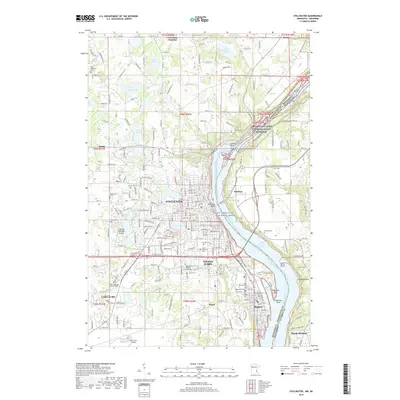
2019 Map of Stillwater
USGS Topo · Published 2019About this map
Lake Saint Croix and the St. Croix Wild and Scenic River form the central spine of this landscape, separating the Minnesota communities of Stillwater and Oak Park Heights from Houlton in Wisconsin. The river's influence is clear through the numerous landings and points, such as Anderson Point and Hiline Point, while the upland terrain features a high density of cemeteries like Fairview Cem and Boutwell Cem that reflect generations of local settlement.
Find a feature on this map
82 named features on this map. Tap any name to fly to it.
Don’t see what you’re looking for? This feature index may not catch every label — zoom into the map to look around manually.
Map Details
Editions of this 2019 Stillwater Map
This is the sole edition of this map. No revisions or reprints were ever made.
Other maps of this area

1946 · Hudson
USGS Topo · 1:62,500

1946 · River Falls
USGS Topo · 1:62,500

1948 · New Richmond
USGS Topo · 1:62,500

1948 · Stillwater
USGS Topo · 1:62,500

1949 · New Richmond
USGS Topo · 1:62,500

1949 · River Falls
USGS Topo · 1:62,500

1949 · Hudson
USGS Topo · 1:62,500

1949 · Stillwater
USGS Topo · 1:62,500

1949 · Lake Elmo
USGS Topo · 1:24,000

1949 · Hudson
USGS Topo · 1:24,000