
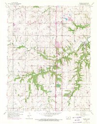
1956 Map of Stilwell
USGS Topo · Published 1957About this map
Stilwell and the surrounding townships of Aubry and Oxford appear here during a period of agricultural stability just prior to the suburban expansion of the Kansas City area. The landscape is defined by the drainage basins of Blue River and Tomahawk Creek, where the terrain transitions from upland plains to dissected stream valleys. Transport and infrastructure are centered on the Missouri Pacific rail line, which connects the small settlements of Stanley, Redel, and Morse.
Find a feature on this map
20 named features on this map. Tap any name to fly to it.
Don’t see what you’re looking for? This feature index may not catch every label — zoom into the map to look around manually.
Map Details
Editions of this 1956 Stilwell Map
4 editions found
Other maps of this area

1887 · Olathe
USGS Topo · 1:125,000

1893 · Olathe
USGS Topo · 1:125,000

1934 · Grandview
USGS Topo · 1:24,000

1935 · Olathe
USGS Topo · 1:24,000

1935 · Lenexa
USGS Topo · 1:24,000

1939 · Grandview
USGS Topo · 1:31,680

1943 · Lenexa
USGS Topo · 1:31,680

1943 · Olathe
USGS Topo · 1:31,680

1947 · Lawrence
USGS Topo · 1:250,000

1950 · Lawrence
USGS Topo · 1:250,000