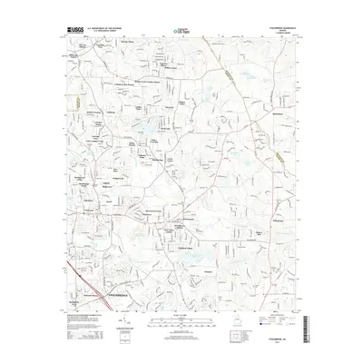
2014 Map of Stockbridge
USGS Topo · Published 2014About this map
Big Cotton Indian Creek and its southern counterpart, Little Cotton Indian Creek, define the drainage and development patterns of this portion of Henry County. By the early 2010s, the landscape around Stockbridge shows a transition from rural homesteads to a dense network of residential subdivisions such as Carriage Trace and Flakes Crossing. Evidence of the area's industrial and transportation history is found at the Vulcan Materials Quarry and small aviation fields like Berry Hill Airport and Grant Airport.
Find a feature on this map
91 named features on this map. Tap any name to fly to it.
Don’t see what you’re looking for? This feature index may not catch every label — zoom into the map to look around manually.
Map Details
Editions of this 2014 Stockbridge Map
This is the sole edition of this map. No revisions or reprints were ever made.
Other maps of this area

1888 · Atlanta
USGS Topo · 1:125,000

1890 · Atlanta
USGS Topo · 1:125,000

1892 · Atlanta
USGS Topo · 1:125,000

1895 · Atlanta
USGS Topo · 1:125,000

1953 · Atlanta
USGS Topo · 1:250,000

1954 · Conley
USGS Topo · 1:24,000

1954 · Jonesboro
USGS Topo · 1:24,000

1956 · Conyers
USGS Topo · 1:24,000

1956 · Redan
USGS Topo · 1:24,000

1957 · Atlanta
USGS Topo · 1:250,000