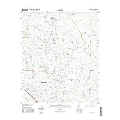
2017 Map of Stockbridge
USGS Topo · Published 2017About this map
Stockbridge anchors a landscape defined by the convergence of several major tributaries, including Big Cotton Indian Cr and Little Cotton Indian Cr. The topography reveals a blend of suburban expansion and long-standing industrial and rural landmarks. The industrial legacy is visible at the Vulcan Materials Quarry Lake, while the local aviation history is represented by small airfields like Berry Hill Airport and Grant Airport.
Find a feature on this map
329 named features on this map. Tap any name to fly to it.
Don’t see what you’re looking for? This feature index may not catch every label — zoom into the map to look around manually.
Map Details
Editions of this 2017 Stockbridge Map
This is the sole edition of this map. No revisions or reprints were ever made.
Other maps of this area

1888 · Atlanta
USGS Topo · 1:125,000

1890 · Atlanta
USGS Topo · 1:125,000

1892 · Atlanta
USGS Topo · 1:125,000

1895 · Atlanta
USGS Topo · 1:125,000

1953 · Atlanta
USGS Topo · 1:250,000

1954 · Conley
USGS Topo · 1:24,000

1954 · Jonesboro
USGS Topo · 1:24,000

1956 · Conyers
USGS Topo · 1:24,000

1956 · Redan
USGS Topo · 1:24,000

1957 · Atlanta
USGS Topo · 1:250,000