Loading...
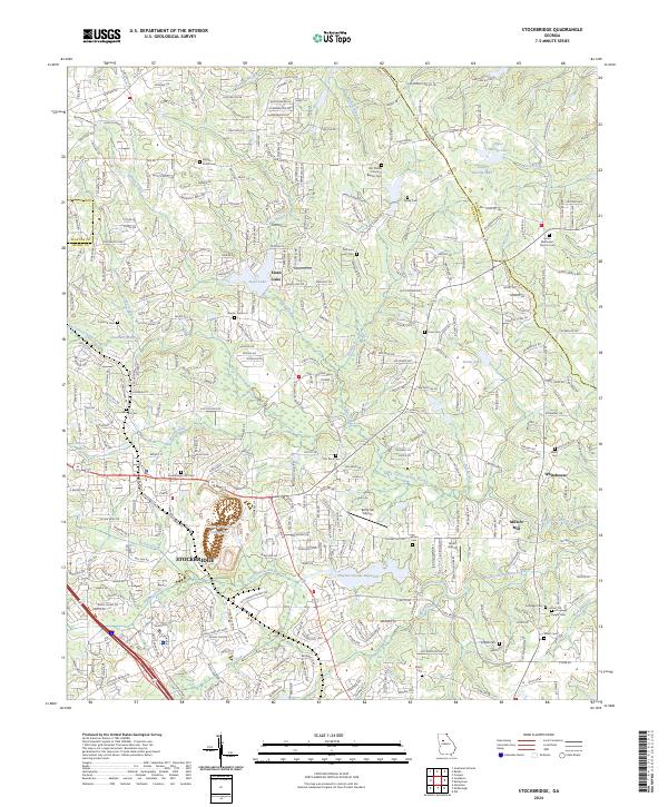
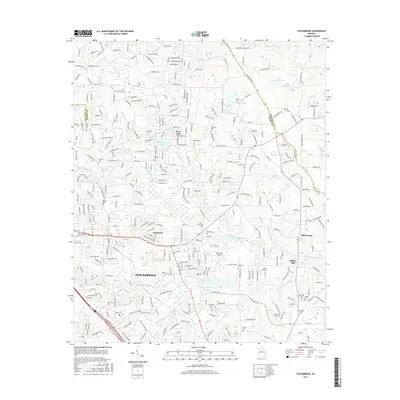
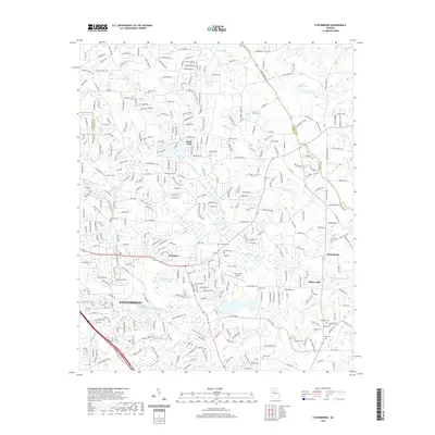
Loading map...2024 Map of Stockbridge
USGS Topo · Published 2024About this map
Stockbridge and its surrounding Henry County landscape are defined by a complex network of creeks and small family-named cemeteries. The terrain is bifurcated by the Norfolk Southern rail line, which runs through the heart of the community near the Stockbridge City Cem. To the east, industrial activity is marked by the Vulcan Materials Quarry Lake, while the local economy's older roots are preserved at Millers Mill on the banks of Big Cotton Indian Creek.
Find a feature on this map
338 named features on this map. Tap any name to fly to it.
Don’t see what you’re looking for? This feature index may not catch every label — zoom into the map to look around manually.
Map Details
Date Portrayed2024
Date Published2024
PublisherU.S. Geological Survey
Map TypeTopographic
Scale1:24,000
Physical Dimensions24 x 29 inches
Editions of this 2024 Stockbridge Map
This is the sole edition of this map. No revisions or reprints were ever made.
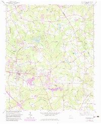
Historical Maps of Stockbridge Through Time
6 maps found
Featured Locations
Source Details
SourceU.S. Geological Survey
CopyrightPublic Domain