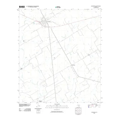
2010 Map of Stockdale
USGS Topo · Published 2010About this map
Stockdale sits at the nexus of several significant regional routes including Main St and Old Floresville Rd, serving as the primary hub for this stretch of Wilson County. The landscape is defined by the winding course of Cibolo Creek and its many tributaries, such as Wallace Branch and Clifton Branch, which carve through the terrain and influenced early settlement patterns. This area retains a distinctly ranching and agricultural character, evidenced by properties like Dale Valley Ranch and Lazy S Ranch.
Find a feature on this map
34 named features on this map. Tap any name to fly to it.
Don’t see what you’re looking for? This feature index may not catch every label — zoom into the map to look around manually.
Map Details
Editions of this 2010 Stockdale Map
This is the sole edition of this map. No revisions or reprints were ever made.
Other maps of this area

1920 · Smiley
USGS Topo · 1:125,000

1936 · Floresville
USGS Topo · 1:62,500

1942 · Dewville
USGS Topo · 1:62,500

1953 · Seguin
USGS Topo · 1:250,000

1954 · San Antonio
USGS Topo · 1:250,000

1956 · Dewville
USGS Topo · 1:62,500

1957 · San Antonio
USGS Topo · 1:250,000

1958 · Seguin
USGS Topo · 1:250,000

1960 · Kosciusko
USGS Topo · 1:24,000

1961 · Nixon
USGS Topo · 1:24,000