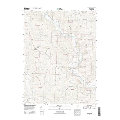
2013 Map of Stockport
USGS Topo · Published 2013About this map
The Muskingum River carves a deep valley through Morgan County, anchoring the riverside settlements of Stockport and Hooksburg. This survey documents a landscape defined by sharp ridges and winding hollows, where agriculture and aviation meet at Bald Eagle Field Airport. The map is particularly valuable for genealogical research, identifying numerous historic burial sites such as the Friends Burial Ground, Infirmary Cem, and Pennsville Cem.
Find a feature on this map
107 named features on this map. Tap any name to fly to it.
Don’t see what you’re looking for? This feature index may not catch every label — zoom into the map to look around manually.
Map Details
Editions of this 2013 Stockport Map
This is the sole edition of this map. No revisions or reprints were ever made.
Other maps of this area

1902 · Parkersburg
USGS Topo · 1:62,500

1904 · Parkersburg
USGS Topo · 1:62,500

1904 · Chesterhill
USGS Topo · 1:62,500

1906 · Chesterhill
USGS Topo · 1:62,500

1909 · Caldwell
USGS Topo · 1:62,500

1910 · Mc Connelsville
USGS Topo · 1:62,500

1912 · Caldwell
USGS Topo · 1:62,500

1949 · Clarksburg
USGS Topo · 1:250,000

1956 · Clarksburg
USGS Topo · 1:250,000

1960 · Watertown
USGS Topo · 1:24,000