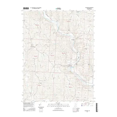
2016 Map of Stockport
USGS Topo · Published 2016About this map
The Muskingum River dominates this portion of Morgan County, winding southward through a landscape defined by significant elevation changes and historical river infrastructure. The central river corridor is anchored by the Muskingum River Lock and Dam Number 7 at Stockport, a critical point for navigation and industry on this major waterway. Settlement patterns follow the high ground and river bends, with Pennsville to the west and the small community of Todds to the south.
Find a feature on this map
179 named features on this map. Tap any name to fly to it.
Don’t see what you’re looking for? This feature index may not catch every label — zoom into the map to look around manually.
Map Details
Editions of this 2016 Stockport Map
This is the sole edition of this map. No revisions or reprints were ever made.
Other maps of this area

1902 · Parkersburg
USGS Topo · 1:62,500

1904 · Parkersburg
USGS Topo · 1:62,500

1904 · Chesterhill
USGS Topo · 1:62,500

1906 · Chesterhill
USGS Topo · 1:62,500

1909 · Caldwell
USGS Topo · 1:62,500

1910 · Mc Connelsville
USGS Topo · 1:62,500

1912 · Caldwell
USGS Topo · 1:62,500

1949 · Clarksburg
USGS Topo · 1:250,000

1956 · Clarksburg
USGS Topo · 1:250,000

1960 · Watertown
USGS Topo · 1:24,000