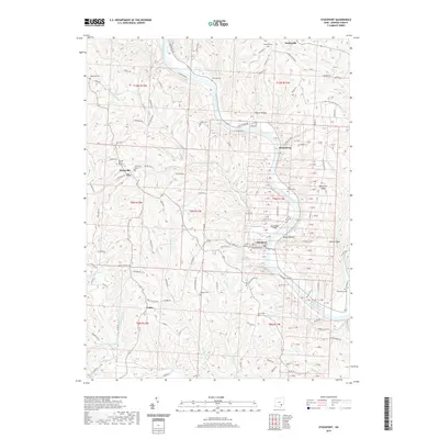
2019 Map of Stockport
USGS Topo · Published 2019About this map
The Muskingum River carves a deep valley through Morgan County, serving as the central artery for settlements like Stockport and Hooksburg. This 2019 survey captures a landscape where riverbank roads such as S Riverside Dr and N Riverview Rd trace the water's edge, connecting small communities and family-named hollows. The terrain is defined by prominent elevations including Patterson Ridge and McCoy Ridge, while numerous watercourses like Bald Eagle Run and West Branch Wolf Creek feed the larger river system.
Find a feature on this map
180 named features on this map. Tap any name to fly to it.
Don’t see what you’re looking for? This feature index may not catch every label — zoom into the map to look around manually.
Map Details
Editions of this 2019 Stockport Map
This is the sole edition of this map. No revisions or reprints were ever made.
Other maps of this area

1902 · Parkersburg
USGS Topo · 1:62,500

1904 · Parkersburg
USGS Topo · 1:62,500

1904 · Chesterhill
USGS Topo · 1:62,500

1906 · Chesterhill
USGS Topo · 1:62,500

1909 · Caldwell
USGS Topo · 1:62,500

1910 · Mc Connelsville
USGS Topo · 1:62,500

1912 · Caldwell
USGS Topo · 1:62,500

1949 · Clarksburg
USGS Topo · 1:250,000

1956 · Clarksburg
USGS Topo · 1:250,000

1960 · Watertown
USGS Topo · 1:24,000