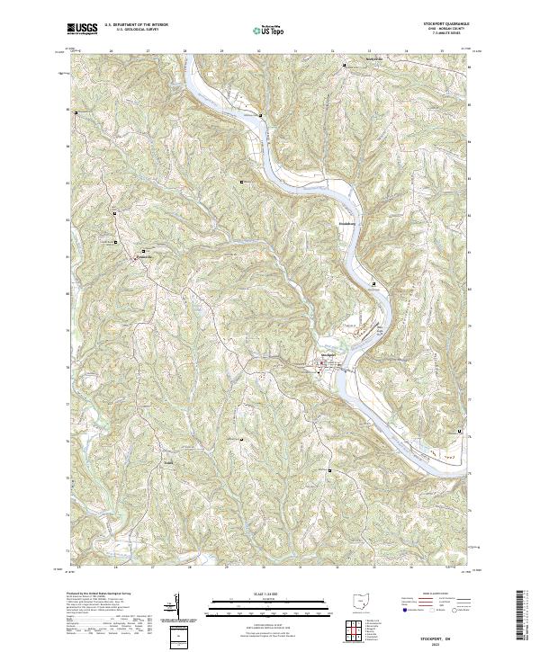
2023 Map of Stockport
USGS Topo · Published 2023About this map
The Muskingum River flows through the heart of this Morgan County landscape, anchoring the village of Stockport where the riverbank is lined with numbered lots and riverfront access. The terrain away from the river is defined by a dense network of ridges and hollows, such as McCoy Ridge and Taylor Hollow, where small settlements like Pennsville and Hooksburg developed. The area's social history is deeply rooted in its many burial sites, including the Friends Burial Ground near Pennsville and the Brick Church Cem overlooking the river valley. Transportation patterns follow the winding path of waterways and topography, with routes like S Riverside Dr and N Riverview Rd tracing the Muskingum, while rural junctions like Todds serve as inland nodes. The mapping of numerous creeks like Bald Eagle Run and Turkey Run illustrates the complex drainage system feeding into the larger river valley.
Find a feature on this map
178 named features on this map. Tap any name to fly to it.
Don’t see what you’re looking for? This feature index may not catch every label — zoom into the map to look around manually.
Map Details
Editions of this 2023 Stockport Map
This is the sole edition of this map. No revisions or reprints were ever made.
Other maps of this area

1902 · Parkersburg
USGS Topo · 1:62,500

1904 · Parkersburg
USGS Topo · 1:62,500

1904 · Chesterhill
USGS Topo · 1:62,500

1906 · Chesterhill
USGS Topo · 1:62,500

1909 · Caldwell
USGS Topo · 1:62,500

1910 · Mc Connelsville
USGS Topo · 1:62,500

1912 · Caldwell
USGS Topo · 1:62,500

1949 · Clarksburg
USGS Topo · 1:250,000

1956 · Clarksburg
USGS Topo · 1:250,000

1960 · Watertown
USGS Topo · 1:24,000