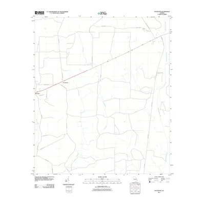
2011 Map of Stockton
USGS Topo · Published 2011About this map
The settlement of Stockton serves as the primary hub in this corner of Clinch County, where the landscape is defined by a dense network of watercourses and rural corridors. To the northeast, Greenwood sits along the main highway route, while the surrounding territory is intricately drained by the south-flowing Cow Creek and its various tributaries. The eastern edge of the quadrangle is marked by the winding path of Suwannoochee Creek, which snakes through the Lowndes and Clinch County borderlands.
Find a feature on this map
21 named features on this map. Tap any name to fly to it.
Don’t see what you’re looking for? This feature index may not catch every label — zoom into the map to look around manually.
Map Details
Editions of this 2011 Stockton Map
This is the sole edition of this map. No revisions or reprints were ever made.
Other maps of this area

1953 · Waycross
USGS Topo · 1:250,000

1954 · Valdosta
USGS Topo · 1:250,000

1958 · Valdosta
USGS Topo · 1:250,000

1958 · Waycross
USGS Topo · 1:250,000

1959 · Valdosta
USGS Topo · 1:250,000

1968 · Naylor
USGS Topo · 1:24,000

1968 · Lakeland
USGS Topo · 1:24,000

1971 · Thelma
USGS Topo · 1:24,000

1971 · Howell
USGS Topo · 1:24,000

1971 · Du Pont
USGS Topo · 1:24,000