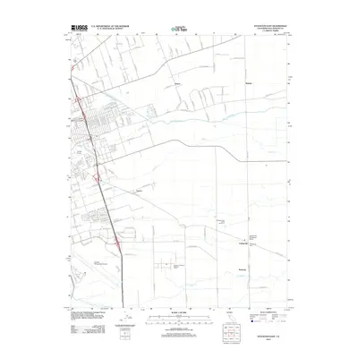
2012 Map of Stockton East
USGS Topo · Published 2012About this map
Collegeville and its surrounding agricultural landscape define this region east of the city at the edge of the Central Valley. This 2012 map illustrates the intricate water management system essential to the area, featuring the Stockton Diverting Canal and the meandering paths of Mormon Slough, Duck Cr, and Littlejohns Cr. These waterways cut through a grid of rural roads and large-scale farming operations, such as Machado Dairy Farms Number 3.
Find a feature on this map
151 named features on this map. Tap any name to fly to it.
Don’t see what you’re looking for? This feature index may not catch every label — zoom into the map to look around manually.
Map Details
Editions of this 2012 Stockton East Map
This is the sole edition of this map. No revisions or reprints were ever made.
Other maps of this area

1894 · Lodi
USGS Topo · 1:125,000

1908 · Waterloo
USGS Topo · 1:31,680

1908 · Linden
USGS Topo · 1:31,680

1910 · Castle
USGS Topo · 1:31,680

1913 · Stockton
USGS Topo · 1:31,680

1914 · Burnham
USGS Topo · 1:31,680

1914 · Manteca
USGS Topo · 1:31,680

1914 · Avena
USGS Topo · 1:31,680

1915 · Lathrop
USGS Topo · 1:31,680

1915 · Peters
USGS Topo · 1:31,680