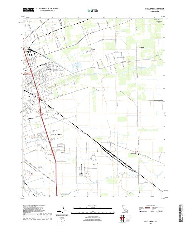
2021 Map of Stockton East
USGS Topo · Published 2021About this map
Stockton and its eastern outskirts reveal a complex transition between dense residential development and the agricultural grid of the San Joaquin Valley. The hydrology of the region is highly modified, characterized by the engineered Stockton Diverting Canal and the natural courses of Mormon Slough and Duck Cr. Settlements like Garden Acres, Fair Oaks, and Kennedy mark the advancing suburban edge, while further east, small communities such as Collegeville and Burnham maintain their rural identity. Aviation history is prominent here, with both the expansive Stockton Metropolitan Airport and the smaller Harley Airport anchoring the landscape. Long-established transport routes like Copperopolis Rd and Farmington Rd bisect the township and range lines, connecting the urban core to outlying landmarks such as the Collegeville Cem.
Find a feature on this map
55 named features on this map. Tap any name to fly to it.
Don’t see what you’re looking for? This feature index may not catch every label — zoom into the map to look around manually.
Map Details
Editions of this 2021 Stockton East Map
This is the sole edition of this map. No revisions or reprints were ever made.
Other maps of this area

1894 · Lodi
USGS Topo · 1:125,000

1908 · Waterloo
USGS Topo · 1:31,680

1908 · Linden
USGS Topo · 1:31,680

1910 · Castle
USGS Topo · 1:31,680

1913 · Stockton
USGS Topo · 1:31,680

1914 · Burnham
USGS Topo · 1:31,680

1914 · Manteca
USGS Topo · 1:31,680

1914 · Avena
USGS Topo · 1:31,680

1915 · Lathrop
USGS Topo · 1:31,680

1915 · Peters
USGS Topo · 1:31,680