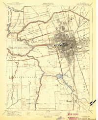
1952 Map of Stockton
USGS Topo · Published 1984About this map
Stockton sits at a critical junction of California's waterways and railways in the early 1950s, defined by the Stockton Deep Water Channel and a complex network of reclaimed delta lands. The map details the intricate irrigation and drainage systems of the Union Island and Roberts Island regions, where numerous tracts like the Upper Jones Tract and McDonald Tract are carved out by sloughs and cuts. This era shows the city's academic and military footprint, including Stockton College, the College of the Pacific, and the sprawling Sharpe General Depot.
Find a feature on this map
98 named features on this map. Tap any name to fly to it.
Don’t see what you’re looking for? This feature index may not catch every label — zoom into the map to look around manually.
Map Details
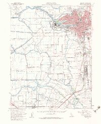
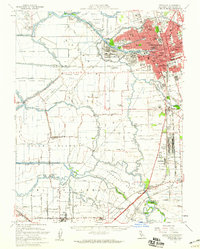
Editions of this 1952 Stockton Map
2 editions found
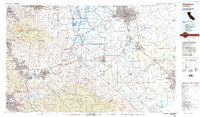
Historical Maps of Stockton Through Time
3 maps found