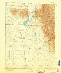
1918 Map of Stockton
USGS Topo · Published 1929About this map
Stockton and the mining landscapes of the Oquirrh Mountains are central to this 1916 survey, which documents the eastern edge of the Tooele Valley before the height of mid-century industrial expansion. The map reveals a high-desert economy rooted in mining and ranching, with settlements like Ophir, Gisborn, and West Mercur tucked into the canyons on the eastern flank. In the valley below, the Los Angeles and Salt Lake RR serves as a critical corridor, passing through St John Sta to connect these remote outposts to larger markets.
Find a feature on this map
30 named features on this map. Tap any name to fly to it.
Don’t see what you’re looking for? This feature index may not catch every label — zoom into the map to look around manually.
Map Details
Editions of this 1918 Stockton Map
4 editions found
Other maps of this area

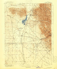
1885 · Tooele Valley
USGS Topo · 1:250,000

1915 · Fairfield
USGS Topo · 1:62,500

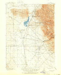
1917 · Fairfield
USGS Topo · 1:62,500

1918 · Stockton
USGS Topo · 1:62,500

1947 · Fivemile Pass
USGS Topo · 1:62,500

1949 · Fivemile Pass
USGS Topo · 1:24,000

1952 · Bingham Canyon
USGS Topo · 1:24,000

1953 · Tooele
USGS Topo · 1:250,000

1955 · Timpie
USGS Topo · 1:62,500

1955 · Deseret Peak
USGS Topo · 1:62,500