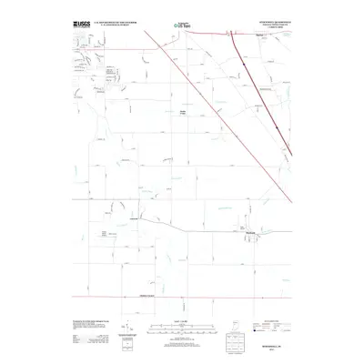
2013 Map of Stockwell
USGS Topo · Published 2013About this map
Agricultural drainage and rural aviation define this corner of Tippecanoe County, where the settlement of Stockwell serves as a primary hub. The landscape is heavily marked by an intricate network of waterways designed to manage the fertile Indiana soil, including Lauramie Cr, Ilgenfritz Ditch, and Platt Ditch. These channels reflect the long-standing importance of water management in local farming practices.
Find a feature on this map
120 named features on this map. Tap any name to fly to it.
Don’t see what you’re looking for? This feature index may not catch every label — zoom into the map to look around manually.
Map Details
Editions of this 2013 Stockwell Map
This is the sole edition of this map. No revisions or reprints were ever made.
Other maps of this area

1941 · Lafayette
USGS Topo · 1:24,000

1942 · Lafayette
USGS Topo · 1:24,000

1950 · Lafayette
USGS Topo · 1:24,000

1953 · Danville
USGS Topo · 1:250,000

1955 · Danville
USGS Topo · 1:250,000

1956 · Danville
USGS Topo · 1:250,000

1958 · Linden
USGS Topo · 1:24,000

1958 · Kirkpatrick
USGS Topo · 1:24,000

1961 · Mulberry
USGS Topo · 1:24,000

1961 · Pyrmont
USGS Topo · 1:24,000