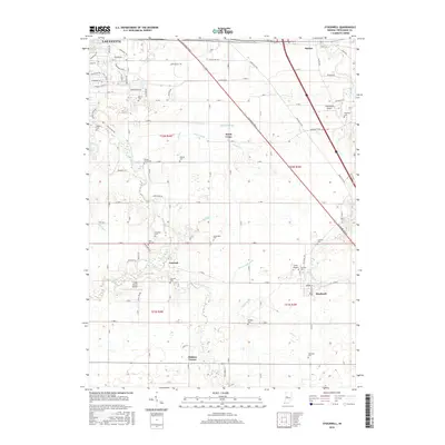
2016 Map of Stockwell
USGS Topo · Published 2016About this map
Lafayette serves as the northern anchor of this landscape, where the suburban expansion of the city meets the productive agricultural fields of Tippecanoe County. The terrain is defined by a dense network of drainage systems such as Ilgenfritz Ditch and Elliott Ditch, which support the intensive farming traditional to this part of Indiana. Small, historic settlements like Stockwell, Concord, and North Crane are distributed along the section lines, maintaining their distinct identities amidst the grid of county roads.
Find a feature on this map
93 named features on this map. Tap any name to fly to it.
Don’t see what you’re looking for? This feature index may not catch every label — zoom into the map to look around manually.
Map Details
Editions of this 2016 Stockwell Map
This is the sole edition of this map. No revisions or reprints were ever made.
Other maps of this area
1941 · Lafayette
USGS Topo · 1:24,000
1942 · Lafayette
USGS Topo · 1:24,000
1950 · Lafayette
USGS Topo · 1:24,000

1953 · Danville
USGS Topo · 1:250,000

1955 · Danville
USGS Topo · 1:250,000

1956 · Danville
USGS Topo · 1:250,000
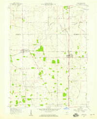
1958 · Linden
USGS Topo · 1:24,000
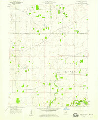
1958 · Kirkpatrick
USGS Topo · 1:24,000
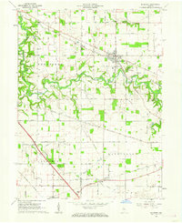
1961 · Mulberry
USGS Topo · 1:24,000
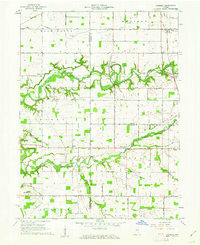
1961 · Pyrmont
USGS Topo · 1:24,000