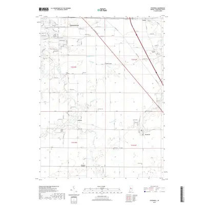
2019 Map of Stockwell
USGS Topo · Published 2019About this map
Lafayette's southern suburban expansion meets the agricultural heart of Tippecanoe County in this modern study of the Indiana landscape. The transition from the developed streets of the north—where roads like Margesson Xing and Veteran's Memorial Parkway Trail are mapped—to the rural farmsteads of the south reveals a region defined by its drainage network. Waterways such as Wea Creek, Dismal Cr, and Lauramie Cr wind through the township, interspersed with several small aviation facilities including Wyandotte Airport and Felix Airport.
Find a feature on this map
76 named features on this map. Tap any name to fly to it.
Don’t see what you’re looking for? This feature index may not catch every label — zoom into the map to look around manually.
Map Details
Editions of this 2019 Stockwell Map
This is the sole edition of this map. No revisions or reprints were ever made.
Other maps of this area

1941 · Lafayette
USGS Topo · 1:24,000

1942 · Lafayette
USGS Topo · 1:24,000

1950 · Lafayette
USGS Topo · 1:24,000

1953 · Danville
USGS Topo · 1:250,000

1955 · Danville
USGS Topo · 1:250,000

1956 · Danville
USGS Topo · 1:250,000

1958 · Linden
USGS Topo · 1:24,000

1958 · Kirkpatrick
USGS Topo · 1:24,000

1961 · Mulberry
USGS Topo · 1:24,000

1961 · Pyrmont
USGS Topo · 1:24,000