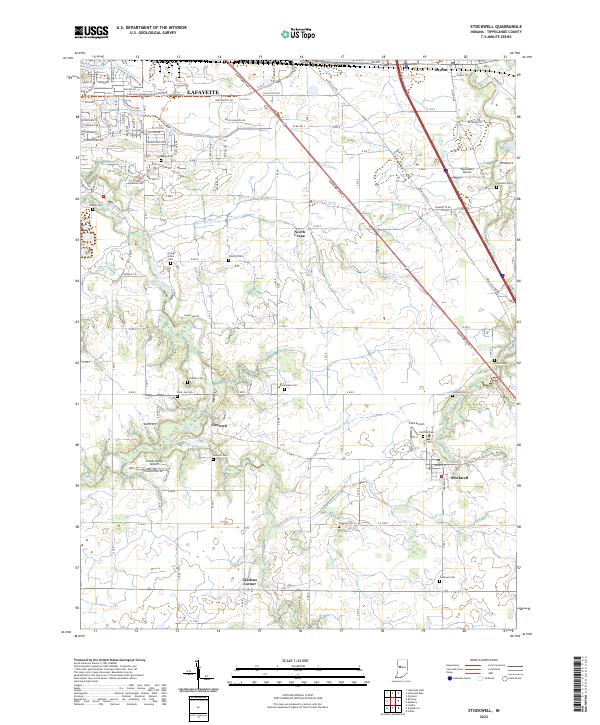
2022 Map of Stockwell
USGS Topo · Published 2022About this map
Lafayette and its southeastern rural surroundings are defined by a complex network of agricultural drainage and family history. The landscape is heavily dissected by man-made waterways like Kenny Ditch, Ilgenfritz Ditch, and Resser Ditch, which support the intensive farming characteristic of this part of Tippecanoe County. This 2022 survey serves as a vital record for genealogists, as it meticulously identifies numerous small family and community burial grounds, including Conarroe Cem, Stingley Cem, and Shoemaker Cem. Small rural clusters such as Stockwell, Concord, and North Crane anchor the township lines of T21N and T22N. Aviation history is also represented through several private landing strips like Wyandotte Airport and Felix Airport, reflecting the region's modern utility alongside its deep-rooted cemetery records.
Find a feature on this map
83 named features on this map. Tap any name to fly to it.
Don’t see what you’re looking for? This feature index may not catch every label — zoom into the map to look around manually.
Map Details
Editions of this 2022 Stockwell Map
This is the sole edition of this map. No revisions or reprints were ever made.
Other maps of this area

1941 · Lafayette
USGS Topo · 1:24,000

1942 · Lafayette
USGS Topo · 1:24,000

1950 · Lafayette
USGS Topo · 1:24,000

1953 · Danville
USGS Topo · 1:250,000

1955 · Danville
USGS Topo · 1:250,000

1956 · Danville
USGS Topo · 1:250,000

1958 · Linden
USGS Topo · 1:24,000

1958 · Kirkpatrick
USGS Topo · 1:24,000

1961 · Mulberry
USGS Topo · 1:24,000

1961 · Pyrmont
USGS Topo · 1:24,000