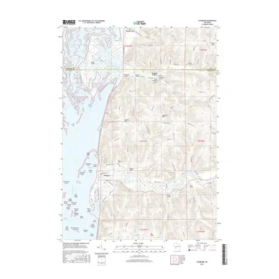
2015 Map of Stoddard
USGS Topo · Published 2015About this map
The village of Stoddard occupies a central position along the Great River Rd, where the flat bottomlands of the Mississippi River valley meet the steep bluffs of the Driftless Area. This geography is defined by a dense archipelago of islands and sloughs, including Goose Island, Sunfish Island, and Otter Island, which are navigated via the Goose Island Canoe Trail. The upland terrain to the east is deeply dissected by coulees and hollows, such as Chipmunk Coulee and Wing Hollow, where early settlement patterns followed the valley floors. Genealogists will find several burial grounds marking the landscape's history, including Maple Grove Cem, Chipmunk Coulee Cem, and Saint Matthews Cem. Industry is represented by a Quarry south of town, while the drainage of Coon Creek and Mormon Cr continues to shape the local hydrology.
Find a feature on this map
111 named features on this map. Tap any name to fly to it.
Don’t see what you’re looking for? This feature index may not catch every label — zoom into the map to look around manually.
Map Details
Editions of this 2015 Stoddard Map
This is the sole edition of this map. No revisions or reprints were ever made.
Other maps of this area

1926 · Stoddard
USGS Topo · 1:62,500

1927 · La Crosse
USGS Topo · 1:62,500

1930 · La Crescent
USGS Topo · 1:62,500

1930 · La Crosse
USGS Topo · 1:62,500

1956 · Brownsville
USGS Topo · 1:62,500

1956 · La Crescent
USGS Topo · 1:62,500

1958 · La Crosse
USGS Topo · 1:250,000

1961 · La Crosse
USGS Topo · 1:250,000
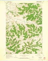
1963 · St. Joseph
USGS Topo · 1:24,000
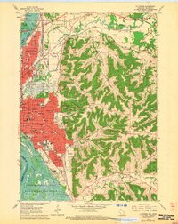
1963 · La Crosse
USGS Topo · 1:24,000