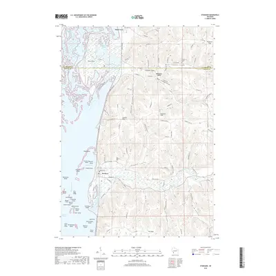
2018 Map of Stoddard
USGS Topo · Published 2018About this map
Stoddard sits at the base of the bluff line where Coon Creek meets the backwaters of the Mississippi River. This modern survey illustrates the complex geography of the Upper Mississippi River valley, defined by the deep "coulees" or valley drainages that cut through the high ridges of the Driftless Area. Notable among these are North Chipmunk Coulee and South Chipmunk Coulee, which separate landforms like Stoddard Ridge and Oak Ridge. To the west, the river creates a dense archipelago including Eagle Island, Pasque Island, and Goose Island, accessible via the Goose Island Canoe Trail. Settlement patterns are tightly constrained by this topography, with communities like Pleasant Valley and Maple Grove following the narrow valley floors. Local history is anchored by several burial grounds, including Gabel Cem, Chipmunk Coulee Cem, and Saint Matthews Cem, located along rural roads that wind through the hills.
Find a feature on this map
107 named features on this map. Tap any name to fly to it.
Don’t see what you’re looking for? This feature index may not catch every label — zoom into the map to look around manually.
Map Details
Editions of this 2018 Stoddard Map
This is the sole edition of this map. No revisions or reprints were ever made.
Other maps of this area

1926 · Stoddard
USGS Topo · 1:62,500

1927 · La Crosse
USGS Topo · 1:62,500

1930 · La Crescent
USGS Topo · 1:62,500

1930 · La Crosse
USGS Topo · 1:62,500

1956 · Brownsville
USGS Topo · 1:62,500

1956 · La Crescent
USGS Topo · 1:62,500

1958 · La Crosse
USGS Topo · 1:250,000

1961 · La Crosse
USGS Topo · 1:250,000
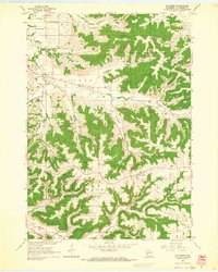
1963 · St. Joseph
USGS Topo · 1:24,000
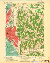
1963 · La Crosse
USGS Topo · 1:24,000