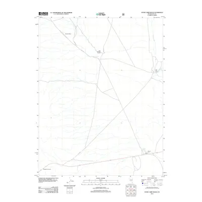
2012 Map of Stone Cabin Ranch
USGS Topo · Published 2012About this map
Stone Cabin Ranch and Fivemile Ranch anchor this high-desert landscape in Nye County, where life and transit revolve around reliable water sources. These outposts, along with the stop at Clark Station, illustrate the distribution of ranching operations across the basin-and-range topography. The network of forest roads, including Natl Forest Develop Road 164 Rd and Natl Forest Develop Road 409 RD, trace the historical pathways through the arid terrain.
Find a feature on this map
14 named features on this map. Tap any name to fly to it.
Don’t see what you’re looking for? This feature index may not catch every label — zoom into the map to look around manually.
Map Details
Editions of this 2012 Stone Cabin Ranch Map
This is the sole edition of this map. No revisions or reprints were ever made.
Other maps of this area

1956 · Tonopah
USGS Topo · 1:250,000

1959 · Tonopah
USGS Topo · 1:250,000

1962 · Tonopah
USGS Topo · 1:250,000
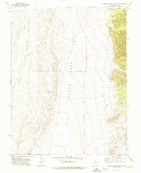
1971 · Georges Canyon Rim SE
USGS Topo · 1:24,000
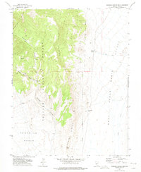
1971 · Georges Canyon Rim
USGS Topo · 1:24,000

1971 · Saulsbury Basin
USGS Topo · 1:24,000

1986 · Stone Cabin Ranch
USGS Topo · 1:24,000
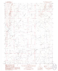
1986 · Stone Cabin Ranch NE
USGS Topo · 1:24,000
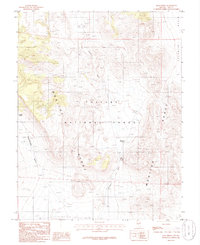
1986 · Mud Spring
USGS Topo · 1:24,000
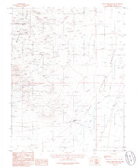
1986 · Stone Cabin Ranch SW
USGS Topo · 1:24,000