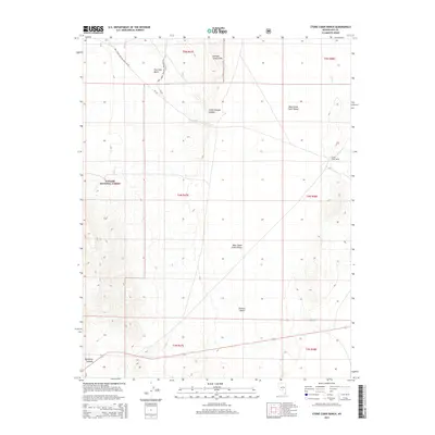
2014 Map of Stone Cabin Ranch
USGS Topo · Published 2014About this map
Stone Cabin Ranch serves as a lone human waypoint in this high-desert landscape within the Toiyabe National Forest of Nye County. The terrain is characterized by broad alluvial expanses like West Stone Cabin Valley and the northern reaches of the Ralston Desert. Water is a scarce and vital resource, appearing only at isolated points such as Fourmile Spring and Fivemile Spring, which historically supported ranching operations and travel through this arid interior. To the north, the elevation rises toward Fourmile Basin and the distinct volcanic or erosional features of Georges Canyon Rim and Little Georges Canyon. Transportation is limited to rugged forest service routes like Natl Forest Develop Road 164 Rd, emphasizing the isolation of this corner of the Great Basin.
Find a feature on this map
21 named features on this map. Tap any name to fly to it.
Don’t see what you’re looking for? This feature index may not catch every label — zoom into the map to look around manually.
Map Details
Editions of this 2014 Stone Cabin Ranch Map
This is the sole edition of this map. No revisions or reprints were ever made.
Other maps of this area

1956 · Tonopah
USGS Topo · 1:250,000

1959 · Tonopah
USGS Topo · 1:250,000

1962 · Tonopah
USGS Topo · 1:250,000
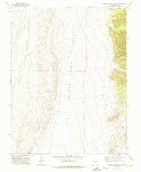
1971 · Georges Canyon Rim SE
USGS Topo · 1:24,000
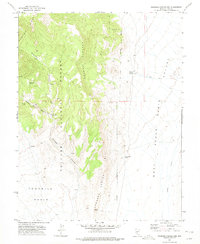
1971 · Georges Canyon Rim
USGS Topo · 1:24,000

1971 · Saulsbury Basin
USGS Topo · 1:24,000

1986 · Stone Cabin Ranch
USGS Topo · 1:24,000
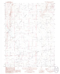
1986 · Stone Cabin Ranch NE
USGS Topo · 1:24,000
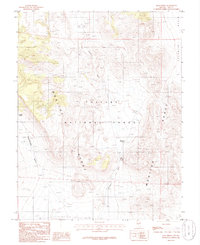
1986 · Mud Spring
USGS Topo · 1:24,000
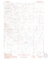
1986 · Stone Cabin Ranch SW
USGS Topo · 1:24,000