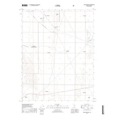
2018 Map of Stone Cabin Ranch
USGS Topo · Published 2018About this map
Stone Cabin Ranch serves as a lone outpost in the high desert of Nye County, positioned between the arid flats of the Ralston Desert and the rising slopes of the Toiyabe National Forest. The landscape is defined by the drainage systems of Willow Cr and a series of vital water sources including Fourmile Spring and Fivemile Spring, which traditionally supported ranching and transit through this basin and range territory. To the west, the terrain rises toward Saulsbury Summit, while the central portion of the map is dominated by the broad, open expanse of West Stone Cabin Valley. This 2018 survey documents the network of primitive roads and national forest development routes that provide access to Little Georges Canyon and the Georges Canyon Rim, illustrating how early ranching footprints persist within modern managed federal lands.
Find a feature on this map
23 named features on this map. Tap any name to fly to it.
Don’t see what you’re looking for? This feature index may not catch every label — zoom into the map to look around manually.
Map Details
Editions of this 2018 Stone Cabin Ranch Map
This is the sole edition of this map. No revisions or reprints were ever made.
Other maps of this area

1956 · Tonopah
USGS Topo · 1:250,000

1959 · Tonopah
USGS Topo · 1:250,000

1962 · Tonopah
USGS Topo · 1:250,000
1971 · Georges Canyon Rim SE
USGS Topo · 1:24,000
1971 · Georges Canyon Rim
USGS Topo · 1:24,000

1971 · Saulsbury Basin
USGS Topo · 1:24,000

1986 · Stone Cabin Ranch
USGS Topo · 1:24,000
1986 · Stone Cabin Ranch NE
USGS Topo · 1:24,000
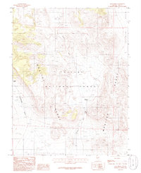
1986 · Mud Spring
USGS Topo · 1:24,000
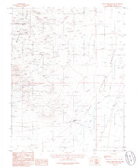
1986 · Stone Cabin Ranch SW
USGS Topo · 1:24,000