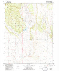
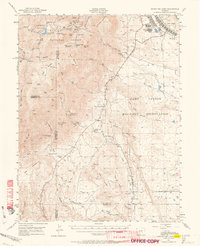
1963 Map of Stone City
USGS Topo · Published 1994About this map
Stone City sits at the base of the eastern foothills in this mid-century topographic record, revised in the early 1990s. The landscape is defined by the sharp transition between the high ridges of Booth Mountain and the expansive drainage basins of Turkey Creek and Wildhorse Creek. The presence of Fort Carson Military Reservation dominates the central and northern sections of the sheet, where specialized infrastructure like Sewage Treatment Ponds and several Radio Towers are documented.
Find a feature on this map
27 named features on this map. Tap any name to fly to it.
Don’t see what you’re looking for? This feature index may not catch every label — zoom into the map to look around manually.
Map Details
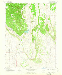
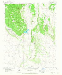
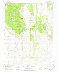
Editions of this 1963 Stone City Map
4 editions found
Other maps of this area

1891 · Pueblo
USGS Topo · 1:125,000

1893 · Colorado Springs
USGS Topo · 1:125,000

1894 · Pueblo
USGS Topo · 1:125,000

1896 · Pueblo
USGS Topo · 1:125,000

1897 · Pueblo
USGS Topo · 1:125,000

1909 · Colorado Springs
USGS Topo · 1:125,000

1942 · Colorado Springs
USGS Topo · 1:125,000

1948 · Mount Pittsburg
USGS Topo · 1:24,000

1948 · Timber Mountain
USGS Topo · 1:24,000
1948 · Mount Big Chief
USGS Topo · 1:62,500