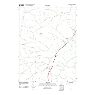
2010 Map of Stone Creek
USGS Topo · Published 2010About this map
Stone Creek and the surrounding township in Tuscarawas County are characterized by a network of creek valleys and the agricultural plateaus that separate them. The 2010 landscape remains deeply connected to its rural roots, evidenced by the numerous church-affiliated burial grounds such as Saint Johns German Reformed Cemetery and Jerusalem Reformed Cemetery. These sites, along with smaller hamlets like Blackband and Yorktown, point to the region's early settlement patterns. Industrial history is etched into the terrain near the eastern corridor, where the Cross Creek Coal Company Dam 0314-001 indicates the area's legacy of resource extraction. Local recreation and farming are visible in the distribution of private waters like Camp Jungen Lake and Farm Lake, while Angel Valley provides a distinct geographical focus for the southwestern portion of the quadrangle.
Find a feature on this map
83 named features on this map. Tap any name to fly to it.
Don’t see what you’re looking for? This feature index may not catch every label — zoom into the map to look around manually.
Map Details
Editions of this 2010 Stone Creek Map
This is the sole edition of this map. No revisions or reprints were ever made.
Other maps of this area

1909 · Uhrichsville
USGS Topo · 1:62,500

1911 · Uhrichsville
USGS Topo · 1:62,500

1911 · Newcomerstown
USGS Topo · 1:62,500

1912 · Dover
USGS Topo · 1:62,500

1913 · Newcomerstown
USGS Topo · 1:62,500

1914 · Navarre
USGS Topo · 1:62,500

1943 · Newcomerstown
USGS Topo · 1:62,500

1944 · Navarre
USGS Topo · 1:62,500

1944 · Dover
USGS Topo · 1:62,500

1951 · Canton
USGS Topo · 1:250,000