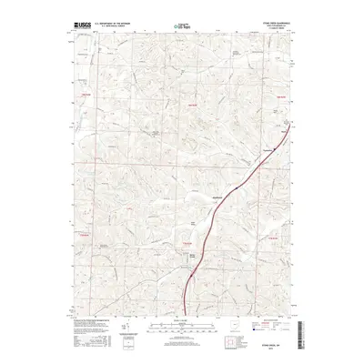
2016 Map of Stone Creek
USGS Topo · Published 2016About this map
Stone Creek and the surrounding Tuscarawas County hillsides are defined by a complex network of valley settlements and upland ridges. The landscape is dotted with several significant historic burying grounds, including the Saint Johns German Reformed Cem and the Crooked Run United Methodist Cem, reflecting the area's deep-rooted congregational history. These sites, along with others like the Saint Jacobs Reformed Cem, serve as primary markers for genealogical research in this part of Ohio.
Find a feature on this map
107 named features on this map. Tap any name to fly to it.
Don’t see what you’re looking for? This feature index may not catch every label — zoom into the map to look around manually.
Map Details
Editions of this 2016 Stone Creek Map
This is the sole edition of this map. No revisions or reprints were ever made.
Other maps of this area

1909 · Uhrichsville
USGS Topo · 1:62,500

1911 · Uhrichsville
USGS Topo · 1:62,500

1911 · Newcomerstown
USGS Topo · 1:62,500

1912 · Dover
USGS Topo · 1:62,500

1913 · Newcomerstown
USGS Topo · 1:62,500

1914 · Navarre
USGS Topo · 1:62,500

1943 · Newcomerstown
USGS Topo · 1:62,500

1944 · Navarre
USGS Topo · 1:62,500

1944 · Dover
USGS Topo · 1:62,500

1951 · Canton
USGS Topo · 1:250,000