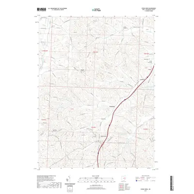
2019 Map of Stone Creek
USGS Topo · Published 2019About this map
Stone Creek serves as the central hub of this Tuscarawas County landscape, where the confluence of local drainages and the path of Stone Creek dictated the placement of early settlements. The map reveals a high density of religious and commemorative sites, notably Saint Johns German Reformed Cemetery and Saint Jacobs Reformed Cemetery, reflecting the area's ancestral German heritage. The presence of the Cross Creek Coal Company Reservoir near Yorktown points to the region's industrial ties to coal mining. Topographical landmarks like Shulls Hill and the appropriately named Angel Valley define the terrain, while smaller communities such as Blackband and Joyce are linked by a complex network of township roads and county highways including County Highway 70 and Steinerey Ridge Road NW.
Find a feature on this map
101 named features on this map. Tap any name to fly to it.
Don’t see what you’re looking for? This feature index may not catch every label — zoom into the map to look around manually.
Map Details
Editions of this 2019 Stone Creek Map
This is the sole edition of this map. No revisions or reprints were ever made.
Other maps of this area

1909 · Uhrichsville
USGS Topo · 1:62,500

1911 · Uhrichsville
USGS Topo · 1:62,500

1911 · Newcomerstown
USGS Topo · 1:62,500

1912 · Dover
USGS Topo · 1:62,500

1913 · Newcomerstown
USGS Topo · 1:62,500

1914 · Navarre
USGS Topo · 1:62,500

1943 · Newcomerstown
USGS Topo · 1:62,500

1944 · Navarre
USGS Topo · 1:62,500

1944 · Dover
USGS Topo · 1:62,500

1951 · Canton
USGS Topo · 1:250,000