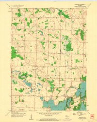
1959 Map of Stonebank
USGS Topo · Published 1961About this map
Glacial topography and a dense network of inland lakes define the landscape of northwestern Waukesha County in the late 1950s. The Chicago and North Western corridor bisects the terrain, connecting small rural centers like Mapleton and Monterey to the wider region. The area is marked by a legacy of early Norwegian and Catholic settlement, evidenced by landmarks such as St Olaf Ch and St Catherine Ch, which served these agrarian communities before the suburbanization of the lake country took hold.
Find a feature on this map
38 named features on this map. Tap any name to fly to it.
Don’t see what you’re looking for? This feature index may not catch every label — zoom into the map to look around manually.
Map Details
Editions of this 1959 Stonebank Map
4 editions found
Other maps of this area

1892 · Watertown
USGS Topo · 1:62,500

1892 · Oconomowoc
USGS Topo · 1:62,500

1894 · Watertown
USGS Topo · 1:62,500

1904 · Hartford
USGS Topo · 1:62,500

1909 · Oconomowoc
USGS Topo · 1:62,500

1955 · Horicon
USGS Topo · 1:62,500

1957 · Madison
USGS Topo · 1:250,000
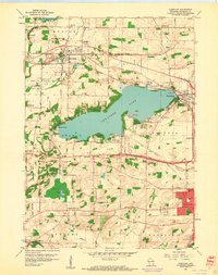
1959 · Hartland
USGS Topo · 1:24,000

1959 · Ixonia
USGS Topo · 1:24,000
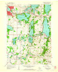
1959 · Oconomowoc East
USGS Topo · 1:24,000