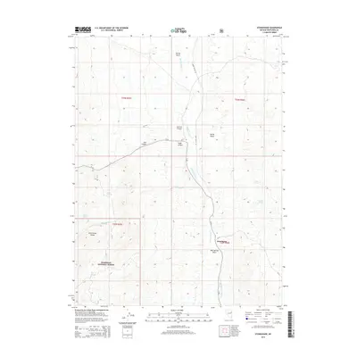
2014 Map of Stonehouse
USGS Topo · Published 2014About this map
Spring Valley serves as the central corridor of this Nevada landscape, where the ephemeral flow of Spring Valley Cr and McCurdy Cr provides a lifeline for cattle ranching and scattered settlements like Stonehouse. To the west, the steep slopes of the Schell Creek Range dominate the horizon, with portions of the Humboldt National Forest extending into the basin. This area is characterized by numerous water sources that have historically dictated human activity in the high desert, including Twin Springs, Crystal Spring, and Garden Springs.
Find a feature on this map
25 named features on this map. Tap any name to fly to it.
Don’t see what you’re looking for? This feature index may not catch every label — zoom into the map to look around manually.
Map Details
Editions of this 2014 Stonehouse Map
This is the sole edition of this map. No revisions or reprints were ever made.
Other maps of this area

1956 · Ely
USGS Topo · 1:250,000

1959 · Ely
USGS Topo · 1:250,000

1963 · Ely
USGS Topo · 1:250,000

1982 · Cherry Spring
USGS Topo · 1:24,000
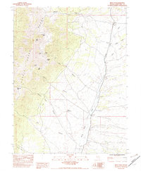
1982 · Becky Peak
USGS Topo · 1:24,000
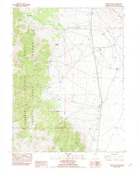
1982 · Silver Canyon
USGS Topo · 1:24,000
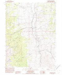
1982 · Stonehouse
USGS Topo · 1:24,000
1982 · Schellbourne
USGS Topo · 1:24,000
1982 · Mattier Creek
USGS Topo · 1:24,000
1986 · Baldy Peak
USGS Topo · 1:24,000