
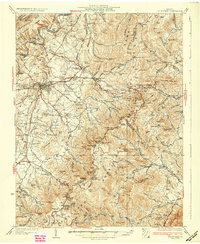
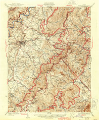
1933 Map of Stony Man
USGS Topo · Published 1933About this map
Shenandoah National Park and the Blue Ridge crest dominate this 1930s landscape, surveyed just as the mountain economy was being reshaped by modern infrastructure. The newly established Skyline Drive and the Lee Highway traverse the high gaps, yet the map preserves the intricate network of older mountain settlements and mountain hollows that predated the park. Cultural landmarks range from the subterranean Luray Caverns to the high-elevation resort at Skyland and the Panorama Hotel at Thornton Gap.
Find a feature on this map
112 named features on this map. Tap any name to fly to it.
Don’t see what you’re looking for? This feature index may not catch every label — zoom into the map to look around manually.
Map Details
Editions of this 1933 Stony Man Map
3 editions found
Other maps of this area

1892 · Woodstock
USGS Topo · 1:125,000

1892 · Gordonsville
USGS Topo · 1:125,000

1892 · Harrisonburg
USGS Topo · 1:125,000

1893 · Luray
USGS Topo · 1:125,000

1905 · Luray
USGS Topo · 1:125,000

1923 · Edinburg
USGS Topo · 1:62,500

1929 · Stony Man
USGS Topo · 1:48,000

1930 · Madison
USGS Topo · 1:48,000

1933 · Madison
USGS Topo · 1:62,500

1937 · Elkton
USGS Topo · 1:62,500