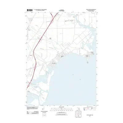
2011 Map of Stony Point
USGS Topo · Published 2011About this map
Lake Erie defines the eastern boundary of this survey, where the Michigan shoreline is a complex network of coastal settlements and managed waterways. Residential developments like Woodland Beach and Detroit Beach sit low against the water, protected by the Monroe Harbor of Refuge to the south. Further inland, the landscape is defined by an extensive drainage system, including the Miller and Malosh Drain and Webb and Reisdorf Drain, which channel water toward Stony Creek and the bay.
Find a feature on this map
30 named features on this map. Tap any name to fly to it.
Don’t see what you’re looking for? This feature index may not catch every label — zoom into the map to look around manually.
Map Details
Editions of this 2011 Stony Point Map
This is the sole edition of this map. No revisions or reprints were ever made.
Other maps of this area

1906 · Wyandotte
USGS Topo · 1:62,500

1906 · Romulus
USGS Topo · 1:62,500

1912 · Wyandotte
USGS Topo · 1:62,500

1912 · Monroe
USGS Topo · 1:62,500

1914 · Monroe
USGS Topo · 1:62,500

1927 · Monroe
USGS Topo · 1:31,680

1928 · Romulus
USGS Topo · 1:62,500

1929 · Wyandotte
USGS Topo · 1:62,500

1936 · Rockwood
USGS Topo · 1:31,680

1936 · Stony Point
USGS Topo · 1:31,680
Featured Places
- Frenchtown Charter Township, MI
- Monroe, MI
- Monroe Charter Township, MI
- Berlin Charter Township, MI
- Detroit Beach, Frenchtown Charter Township