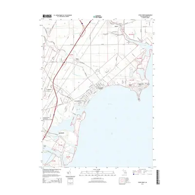
2014 Map of Stony Point
USGS Topo · Published 2014About this map
Brest Bay and the shoreline of Lake Erie define this coastal landscape, where residential lakefront communities have developed along the Michigan shore. These settlements, including Woodland Beach, Detroit Beach, and Stony Point, are characterized by dense street grids that meet the water's edge at geographic markers like Pointe aux Peaux. Further inland, the terrain is shaped by an extensive network of drainage systems, such as the Walker Drain and Miller and Malosh Drain, which manage the low-lying areas between the coast and the inland reaches of Monroe.
Find a feature on this map
126 named features on this map. Tap any name to fly to it.
Don’t see what you’re looking for? This feature index may not catch every label — zoom into the map to look around manually.
Map Details
Editions of this 2014 Stony Point Map
This is the sole edition of this map. No revisions or reprints were ever made.
Other maps of this area

1906 · Wyandotte
USGS Topo · 1:62,500

1906 · Romulus
USGS Topo · 1:62,500

1912 · Wyandotte
USGS Topo · 1:62,500

1912 · Monroe
USGS Topo · 1:62,500

1914 · Monroe
USGS Topo · 1:62,500

1927 · Monroe
USGS Topo · 1:31,680

1928 · Romulus
USGS Topo · 1:62,500

1929 · Wyandotte
USGS Topo · 1:62,500

1936 · Rockwood
USGS Topo · 1:31,680

1936 · Stony Point
USGS Topo · 1:31,680
Featured Places
- Frenchtown Charter Township, MI
- Monroe, MI
- Monroe Charter Township, MI
- Berlin Charter Township, MI
- Detroit Beach, Frenchtown Charter Township