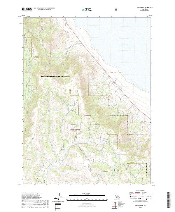
2021 Map of Stony Ridge
USGS Topo · Published 2021About this map
Honey Lake and the southeastern expanse of the Honey Lake Valley dominate the northeastern portion of this Lassen and Plumas County landscape. The terrain rises sharply from the lakebed toward the high elevations of the Plumas National Forest, where the prominent spine of Stony Ridge and peaks like Cottonwood Mtn define the watershed. This 2021 survey reveals a complex network of canyons, including Wales Canyon and Brockman Canyon, which channel seasonal runoff from the mountains toward the basin below.
Find a feature on this map
46 named features on this map. Tap any name to fly to it.
Don’t see what you’re looking for? This feature index may not catch every label — zoom into the map to look around manually.
Map Details
Editions of this 2021 Stony Ridge Map
This is the sole edition of this map. No revisions or reprints were ever made.
Other maps of this area

1886 · Honey Lake
USGS Topo · 1:250,000

1891 · Honey Lake
USGS Topo · 1:250,000

1893 · Honey Lake
USGS Topo · 1:250,000

1950 · Kettle Rock
USGS Topo · 1:62,500

1950 · Milford
USGS Topo · 1:62,500

1954 · Susanville
USGS Topo · 1:62,500

1954 · Litchfield
USGS Topo · 1:62,500

1955 · Westwood
USGS Topo · 1:250,000

1958 · Westwood
USGS Topo · 1:250,000

1959 · Westwood
USGS Topo · 1:250,000